From Field Data To Clear Decisions
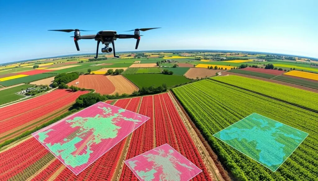
Sonetarc Foundation combines GIS mapping, UAV surveys, community research and monitoring data to help programs target the right places, explain their progress and adapt quickly as conditions change.
Program Intelligence Layer
Evidence workflowData products are designed for program teams, county partners and community stakeholders who need practical decisions, not just raw numbers.
Dashboards and insight briefs are released when partner reporting windows, validation checks and community safeguards are complete.
A Practical Data Workflow
The goal is to make information useful at the point of action: where to work, what to prioritize, what changed and what should happen next.
Community & Field Inputs
Surveys, interviews, site visits, GIS layers and UAV observations create a grounded picture of need and context.
Patterns & Priorities
Data is interpreted against program goals, local geography and equity considerations to identify practical priorities.
Decisions & Learning
Insights are translated into dashboards, briefs and recommendations that support delivery, accountability and scale.
GIS & UAV Mapping
Spatial intelligence for program targeting, site verification, land-use patterns and climate resilience planning.
Map the contextMonitoring Dashboards
Clear progress views that help program teams track delivery, compare locations and surface implementation gaps.
Track progressLearning Briefs
Concise evidence summaries for partners, funders and public-sector stakeholders who need timely program insight.
Share learningNeed data support for a program?
Our research and data intelligence work helps partners connect field realities with stronger decisions and clearer reporting.