Sonetarc Foundation delivers community interventions across Kenya, with current operational areas spanning both rural and urban counties. We work where data shows the need is greatest and where local partnership makes lasting impact possible.
Data-Led, Locally Grounded
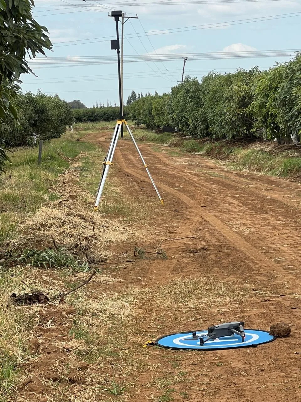
Using GIS mapping, UAV surveys and community data, we target our programs precisely — then build local capacity so impact is owned and sustained by the communities themselves.
Our Operational Map
Explore our current operational counties. Select a marker to see the focus of our work in each area.
(function(){ function init(){ if(typeof L===’undefined’){return setTimeout(init,150);} var el=document.getElementById(‘sonetarc-map’); if(!el||el._sinit){return;} el._sinit=true; var base=’/wp-content/uploads/leaflet/images/’; var icon=L.icon({iconUrl:base+’marker-icon.png’,iconRetinaUrl:base+’marker-icon-2x.png’,shadowUrl:base+’marker-shadow.png’,iconSize:[25,41],iconAnchor:[12,41],popupAnchor:[1,-34],shadowSize:[41,41]}); var map=L.map(‘sonetarc-map’,{scrollWheelZoom:false}).setView([-0.6,36.6],6); L.tileLayer(‘https://{s}.tile.openstreetmap.org/{z}/{x}/{y}.png’,{maxZoom:18,attribution:’© OpenStreetMap contributors’}).addTo(map); var counties=[ {n:’Makueni’,c:[-1.8039,37.6246],d:’Water access, agriculture & climate resilience.’}, {n:’Nairobi’,c:[-1.2921,36.8219],d:’Technology, data & ICT / digital-inclusion hub.’}, {n:’Kakamega’,c:[0.2827,34.7519],d:’Health, agriculture & community development.’}, {n:’Vihiga’,c:[0.0803,34.7223],d:’Community health, livelihoods & gender programs.’}, {n:’Narok’,c:[-1.0833,35.8667],d:’Climate, land-use mapping & environmental resilience.’} ]; var grp=[]; counties.forEach(function(o){ var m=L.marker(o.c,{icon:icon}).addTo(map).bindPopup(‘‘+o.n+’‘+o.d); grp.push(m); }); try{ map.fitBounds(L.featureGroup(grp).getBounds().pad(0.25)); }catch(e){} } if(document.readyState!==’loading’){init();}else{document.addEventListener(‘DOMContentLoaded’,init);} })();
Operational Areas
Makueni
Semi-arid programming focused on water access, agriculture and climate resilience.
Nairobi
Urban hub for our technology, data and ICT & digital-inclusion work.
Kakamega
Programming across health, agriculture and community development.
Vihiga
Community health, livelihoods, gender & social-development interventions.
Narok
Climate, land-use mapping and environmental-resilience programming.
A fully interactive data dashboard that layers live program metrics onto this map can be added as program data becomes available.