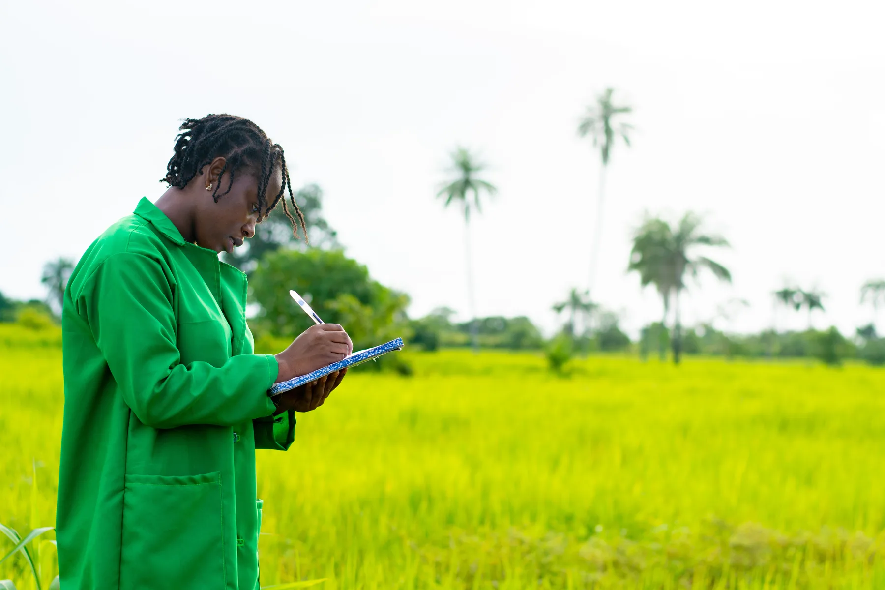

Program Context
Smallholder farmers face climate variability, uneven crop performance, limited advisory access, and weak links to buyers, finance, and insurance. AngaGrow gives agriculture programs a practical way to see field conditions and respond with evidence.
The Key Challenge
AngaGrow gives agriculture programs a practical field-to-dashboard model: drone capture, crop health analysis, forecasting, recommendations, and partner reporting. It is designed to help smallholder farmers, community groups, and implementing partners take action early and improve food security outcomes.
Farmers need early visibility into crop health, field variability, water stress, and production risks before harvest losses occur.
Farmer groups and field teams often lack timely data to prioritize farm visits, training, and agronomy recommendations.
Buyers, financiers, and insurers need better crop visibility to support responsible linkages for smallholder farmers.
Our Solution
The approach begins with multispectral UAV capture of plant counts, crop vigor, crop health, grading and sizing indicators, and yield estimation signals. AngaGrow then converts those signals into dashboards for farmers, financiers, buyers, and project teams.
Drone Capture
Multispectral UAV flights capture crop health, plant counts, vigor, and field variability across project sites.
Analytics
AngaGrow converts field signals into crop analysis, yield estimates, dashboards, and practical recommendations.
Action
Farmers, partners, buyers, and financiers use the insights to plan advisory support, linkages, and reporting.
Result
For community projects, this means stronger baseline data, timely advisory support, better market and finance linkages, and clearer monitoring and evaluation evidence for governments, donors, and local partners.